Route Description
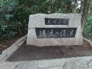
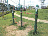
Higashi-Yamatoshi Sta.→Nakajima-cho Park→Josui-kobashi Bridge→Tokyo Metropolitan Higashiyamato-minami Park →Sakuragaoka Field→Tamagawa-josui Sta.
How long does it take to walk 'between two stations' when we say "Let's walk between two stations to get healthy"? Travel on foot the length of one train stop along Nobidome Yosui irrigation canal and Tamagawa Josui Aqueduct from Higashi Yamatoshi Sta. to Tamagawa-josui Sta. Try it for yourself and you will see what it is all about. If you hold out a little longer and walk to the next station, you can also see the must-see site of a substation damaged in the war.
* The time, calorie consumption, and number of steps for each walking course were calculated using a speed of 4 km/h, walking 10 minutes = 30 kcal, one step = 70 cm and a body weight of 60 kg.
(0.56MB)
* Some details in the PDF walking map may differ from Google Map.
* Contact regarding the PDF walking map offered on this website.
[Health Section,Welfare Division, Higashiyamato City TEL 042-565-5211]