Route Description
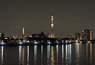
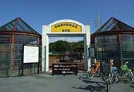
Okudo Sogo Sports Center → Nakagawa Sagan Ryokudo Koen park → Nakagawa Okudo Observation Deck → Kamihirai-bashi Bridge → Nakagawa Ugan Ryokudo Koen park → Higashitateishi Green Space Park → Nakagawa Ugan Ryokudo Koen park → Aoto-bashi Bridge → Nakagawa Sagan Ryokudo Koen park → Okudo Sogo Sports Center
* The time, calorie consumption, and number of steps for each walking course were calculated using a speed of 4 km/h, walking 10 minutes = 30 kcal, one step = 70 cm and a body weight of 60 kg. The allowed time includes the opportunity to try out fitness equipment.
(10.9MB)
* Some details in the PDF walking map may differ from Google Map.
* Contact regarding the PDF walking map offered on this website.
Katsushika City Urban Development Division Park Section TEL 03-3693-1777